The WAVY Littoral, a surface drifter designed to collect marine data on coastal environments, is already fully developed and in the production stage. The team has been conducting test campaigns to promote the use cases of this surface drifter, such as supporting citizen science, validate models for port management systems, among others. Learn more at Discover the WAVY Littoral: a surface drifter designed for coastal observations.
Currently, MELOA is working on the development of the WAVY Ocean, a surface drifter aiming at collecting data in open ocean zones. The drifter’s prototype has been already tested in the laboratory, and several test campaigns will take place in international waters, involving the marine community from Portugal, Spain and Ireland during 2020.
|
WAVY Version |
Main Features |
Use Cases |
| WAVY Littoral |
GNSS, GPRS, IMU (MEMS) |
Wave and Lagrangian current measurements in nearshore areas; Safety in public beaches; Citizen’s science; Littoral and nearshore studies. |
|
Wavy Ocean
|
GNSS, adjustable ballast module, 2 thermistors (near sea-surface temperatures), satellite communications, IMU, solar panels |
Lagrangian current measurements; Ground-truth for satellite-derived SST; Near-surface temperature gradients. |
MELOA launched the WavyHub and the WAVY Fundamentals, which consist of mobile apps developed to support the deployment of the WAVY drifters. The WavyHub is meant to set the WAVY drifters before the operations, while the WAVY Fundamentals allows tracking the WAVY in real-time, facilitating the recovery of the drifters at the end of the activities, for instance.
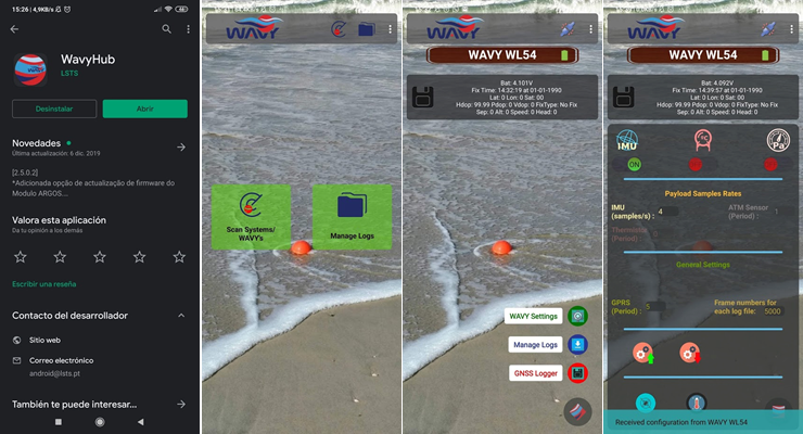 |
WavyHub
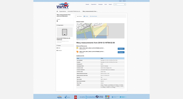
These apps are completed by the online portals MELOA Data Catalogue that gathers the data and metadata collected by the WAVY drifters, and the MELOA Geoportal that enables an easy exploring and visualization tool and for the WAVY drifters data products and provides access to the data through standard and interoperable OGC Web Services, such as WFS and SOS.
 |
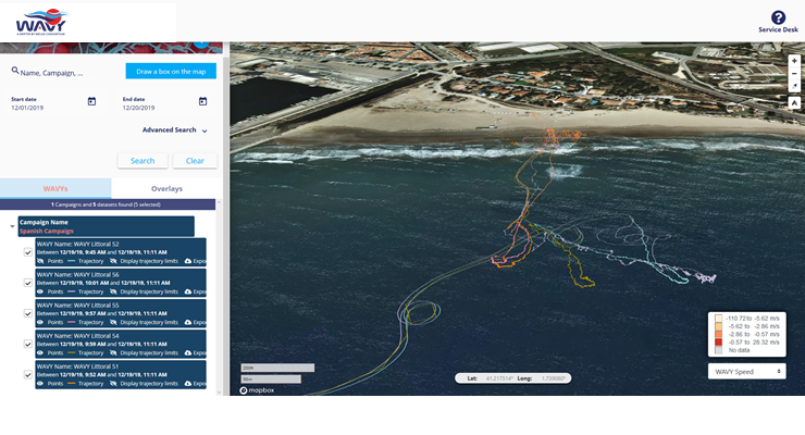 |
MELOA Data Catalogue MELOA Geoportal
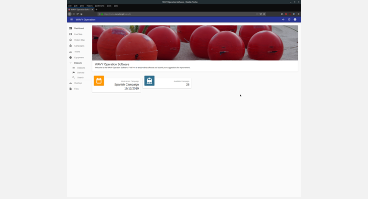
MELOA team has also been testing the WAVY Operations Software. The software enables the management, visualization and annotation of the georeferenced data collected by the WAVY drifters, in the context of scientific campaigns. The software’s user interface was recently updated with the feedback collected by users during the test campaigns, and new products will be soon added.
 |
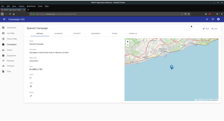 |
MELOA Operations Software
All these components are part of the MELOA Software Ecosystem being developed under the project to support the data acquisition, campaign management, data storage, visualization and distribution and applications development. More news on MELOA Software Ecosystem coming soon, stay tuned!
MELOA Newsletter / 2nd Edition / January 2020